Monday 31 January 2011

East Cape to Awakeri Springs

Saturday 29.01.2011

It didn’t half rain last night. We got woken up early in the morning by the wind rocking our little van about and the rain pounding on the roof. Admittedly we were in rather an exposed position, ie, on top of a hill overlooking the Pacific Ocean, but still…

As we were not far from the lighthouse on the most easterly bit of mainland in the world we thought it would be good to go and have a look at it, so we carried on the track for another 6 kms to the end. The lighthouse is at the top of about 500 steps; what a good way to start the day.
The wind at the top was horrendous; it was a real struggle standing and Ann-Marie had her hat blown off and almost lost it.
The Pacific Highway along the top of East Cape and round the Bay of Plenty is full of interesting stuff. It wasn’t the brightest of days, but a howling on-shore wind, lots of recent rainfall and an incoming spring tide made it all very dramatic.

This is an Anglican church at Raukokore.
And driftwood all over the road at Omaio.
This is a Marae; a Mauri meeting house.
The wood carving is amazing. The East Cape and the Bay of Plenty were where the first Mauri canoes came ashore from Hawaii in the 1300s. Every village along the road has one of these meeting houses and they are all as intricately decorated as this one.

We stopped for elevenses today at a Pacific Coast Macadamia's nut orchard; they sold very nice flat whites and home-made ice cream. Yummm! The gardens round the café were spectacular too and home to some Monarch butterflies.
When we crossed the Motu River it was in full flood and going like the clappers. Half way across the bridge we stopped to take a photo and our little Magic Bus that Kate & Anne made for us blew out of the open window and disappeared into the raging torrent! Noooo!

This is our little gang of fellow travellers.
And this is where the bus went.
The recent rain hasn’t just swollen the rivers; Fulton-Hogan (NZ’s road mending monopoly) have got their work cut out.
At Awakeri Springs we booked into a proper campsite with power and showers and this -
it’s a geo-thermal swimming pool at a constant 38˚C. There is a constant wiff of sulphur, but when you’re swimming in a hot bath you can put up with it. We went to bed clean and wrinkly.

Doneraile Park to East Cape

Friday 28.01.2011

This is from the road out of Doneraile Park; last night’s camp site is just the other side of the bridge.
Our first stop today was Gisborne. We had our usual session in the library, then while our washing was going round in circles we had a quick walk down to the harbour. This especially caught our eye.
We’ve had an e-mail from Alastair; poor old Ken is having his gearbox refurbished. All the crash changes Dave did while his clutch was giving up must have taken their toll. Anyway, we know he’s in safe hands, and probably enjoying having a rest. Kiwi Ken is definitely not having a rest; this is the Pacific Highway, State Highway 35, doing its bit to add to BP’s and Dunlop’s coffers.
Not that we’re complaining, NZ is like a never-ending roller coaster with extra hills, plus, just in case you get bored, an unbelievable view of the Pacific thrown in!

We came to rest today at the top corner of East Cape. We turned off the highway at Te Araroa and drove down a gravel track towards the lighthouse. After about 15kms we came to East Cape Camping Ground. After about 10 minutes a bloke called Len turned up and took our money, and after that we didn’t see another soul all night.
We could have been the only people on the planet.

Although it was threatening rain, we bravely went for a walk along the windswept beach, picking through driftwood and hopping across rock pools.
When it started raining properly we were about 2 kms from the van and thoroughly soaked when we got back. Good excuse for hot chocolate before bed!

Thursday 27 January 2011

Te Awanga to Doneraile Park

27.01.2011
This is the view we woke up to this morning; another lovely day. That’s 4 in a row now, if it carries on like this we’ll start to get used to it!

Our first stop today was a little village called Clive for an empty out; we’ve found a directory of dump stations in the back of our atlas which is making life much easier. After that we drove on to the beautiful city of Napier. This, along with its twin city, Hastings, was severely damaged by a large earthquake in the 1930s. Although terrible at the time, lots of rebuilding happened straight away, and an Art Deco phoenix has risen from the rubble.
Like everywhere else we’ve been the city gardens are clean, tidy and well looked after; it’s heartening to see so much civic pride in a country.
From Napier we followed the Pacific Coast Highway up some serious bends, including “Devil’s Elbow”, half of which was covered in land-slip, and stopped at Tutira reservoir for lunch. We shared our sandwiches with the local wildlife
then carried on to Wairoa and Frasertown, where we turned off onto a little yellow road towards Gisborne. At Te Regina we came across a little lake full of black swans, and finally stopped for the night at the bottom of an amazing gorge at Doneraile Park Freedom Camping; a facility provided by Gisborne County.
We had a stroll and a bit of rock-hopping along the river before tea and found some fossils.
Maybe in the morning we can use the frying pan to look for gold.

Norsewood to Te Awanga

26.01.2011

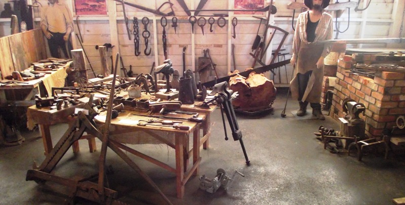
We had breakfast looking at the mountains and the sheep, then drove into Norsewood and had a very interesting visit to the museum.
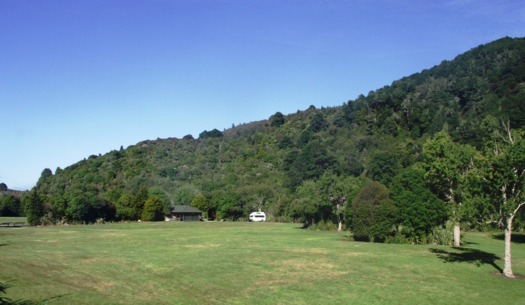
We stopped in Waipukurau for shopping and an on-line session in the library then carried on up Highway 2 straight through Hastings and out along the coast to the end of the road at Clifton. From here there is a 10km walkway along the beach to the Cape Kidnappers Gannet Colony. There are tractor and trailer tours, but we thought it would be nice to walk. It’s only accessible at low tide, and if you’re walking you need to start off within a couple of hours of high tide in order to get back in time. So, without planning it or anything, guess what time we turned up? Yep, 2.15, bang on high tide. Just enough time for a brew and a snack, then off we set.
The colony is 2km round the other side of the headland you can see in the distance.
It was slightly unnerving at first because the extremely high cliffs we were walking beside are very obviously eroding at a rate of knots,
but after we’d clambered over a recent land slip and lived to talk about it, we got braver.
About half way there were overtaken by a bloke with on a quad bike; when we caught up with him he’d parked up and was waist deep in a rock pool fishing under the water with his hands. We asked him what he was after. “Sea Eggs.” He said, “They’re like spiky oysters; you just break ‘em apart and...slurp!”
An hour later we arrived at Black Reef, which is on the headland. There were lots of gulls and terns here as well as a small gannet colony, and we stopped for a bit of a rest. 2 km further along the beach the path started to climb and zig-zaged up the hill to a plateau 1100m above the pacific. Up here is the main colony of over 1000 birds, who didn’t seem at all bothered by the 4 tractor loads of people who’d turned up just before us.
This year’s chicks had all been hatched in the previous few weeks and were all pathetic wobbly fluff balls in various stages of moulting, and all still totally dependent on both parents. Up close they are stunningly beautiful birds, majestic and graceful in flight, but like an upturned sack of spuds when they land. They have incredible body language; lits of beak rubbing and head bobbing. We could have watched them for hours, only we were constantly aware of the tide and, quite frankly, the smell is atrocious.

On the way back we came across this, which hadn’t been there earlier on. Ooh-er!
We arrived back at the van at about 8.30; very tired and hungry. Luckily there was a free camp-site less 5 km away at Te Awanga so we didn’t have far to go.

Tuesday 25 January 2011

Wellington to Norsewood

Tuesday 25.01.2011

As there were several walks starting from our camping ground and it was a nice sunny morning, we followed a sign for “Rivendell”. After half an hour of rain-forest track we came to the film location from Lord of the Rings. There’s no evidence of the film set now, but that doesn’t stop it being a magical place, especially as it was all misty where the sunshine was catching the wet grass.
We’re following Highway 2 for most of this week, after leaving Wellington the first important thing it does is climb the Rimutaka Pass.
There’s quite a bit of work going on to modify a couple of the biggest bends, the amount of earth and rock moving that has to take place is incredible.

Further up Highway 2 we almost drove past a sign pointing to “Stonehenge”. Couldn’t resist that one! Stonehenge Aotearoa turned out not to be just a copy of ours, but a fully functioning astronomical instrument, designed by the local astronomical society specifically for where it is.
Although we were a bit sceptical when we arrived, by the time we left we were thoroughly impressed and quite a bit wiser.

Our camp-site for the night was as basic as it comes; $5 a night with a loo and a tap, just outside a lovely little pioneer town called Norsewood. This area of NZ; the Tararua district, was settled by people from Scandinavia around the 1870s. There's a pioneer museum in the town, so we'll have a look in the morning. We had our tea then went to bed looking out over sheep and mountains.

Picton to Wellington

Monday 24.01.2011

After a night being bashed about by the wind and constant rain we were worried that the ferry crossing would be either awful or cancelled. As it turned out neither was the case. Morning arrived, the rain stopped and as we drove from the camp-site to Picton town little blue patches became visible. We visited the Post Office and the Library, and by the time we drove to the Interislander Terminal and joined the queue of other campers on their way to North Island, we were bathed in sunshine.
It seems to be the way here that the only thing guaranteed about the weather tomorrow, is that it won’t be the same as today’s.

The 3 hour, 95km journey on the ferry “Kaitaki” took us through the relatively calm and scenic Queen Charlotte Sound
before crossing the not-so-calm Cook Strait. We rounded the Wellington peninsula and went outside on the top deck to watch as we docked at the terminal just to the north on the city.
As you may know we’re not good at big cities. We know we’re missing out on some of the best stuff the countries we visit have to offer, and we’ve been told about some top places to go in New Zealand’s capital, but we just get claustrophobic. We’re simple folk really; we’d much rather have a day trekking up a mountain or wandering along a beach. And we were cooped up in the van because of the rain the day before. Anyway, despite having every intention of at least driving through Wellington, when we finally managed to get off the ferry - after a hissy with a pillock of a deck-hand and a general sense of humour failure - “City Centre” signs didn’t look that appealing.

About 15km north of Wellington there was a little camp-site marked on our map. When we got there we found that although there was a picnic site, and a few walks into the hills, camping was only by prior arrangement. As we were there, we followed a river walk that turned into a walk in a river,
then drove on to the next site. Pakuratahi turned out to be a beautifuly clean riverside camping ground with bar-b-que facilities.
As a first night in North Island we were very impressed.

Sunday 23 January 2011

Kina Beach to Picton

Sunday 22.01.2011

We didn’t do a lot of sight-seeing today, mostly due to wind and rain all afternoon and evening. We are on the ferry to the North Island tomorrow, sailing at 1pm from Picton to Wellington. It’s three hours across Cook Strait; hopefully the weather will have improved by then!

We said goodbye to the lovely little Kina Beach camp site and set off back to Nelson. We weren’t going to stop but there was a kite festival in the park, so we had a quick look, bought some (very) mini doughnuts before going back to the van for lunch.
As the weather closed in we drove over the beautiful Bryant Mountains to the Rai Valley. After Pelorus Bridge we followed the Pelorus River to Canvastown and Havelock. All along this road there is evidence of recent devastation from land-slips and flooding. The river has obviously burst its banks leaving debris, sometimes in the shape of whole trees, in the surrounding fields. This is what it looked like in December.
A couple more days like today and it'll be the same again!
At Havelock we turned off in the rain onto the Pukenu Hill road, which has a very steep climb to the Moenui Lookout.
It then becomes the Queen Charlotte Drive, and after 35kms precariously winding round various ravines, outcrops and overhangs, it finally descends from the sheer cliffs and returns to sea level at Picton, which nestles at the end of Queen Charlotte Sound. We think Queen Charlotte must have been a thrill junkie; this is the twistiest road we’ve been on since we got here; if it hadn’t been chucking it down with rain the whole time our little Toyota’s tyres would have been smokin’.

We drove straight through Picton; we’ll have a look at it tomorrow, todays mission was to find a nice camp-site with nice showers. We did that, at the Waikawa Bay Holiday Park, and we got a nice view of Picton Marina thrown in.
At the moment it’s raining so hard we can’t actually see it.

Saturday 22 January 2011

Nelson to Kina Beach

Saturday 22.01.2011

We were up and out of Nelson before 8 and heading north on Highway 60, “The Takaka Hill Highway”, towards Abel Tasman National Park and Golden Bay. Although Dave is fervently in love with Highway 6, even he had to admit that this one, with signs saying “Sharp bends. Next 25kms”, more hairpins than you can shake a stick at and views like this took some beating!
This is Eureka Bend. Whoo-oo!
It’s 105kms from Nelson to Takaka, but probably less than half that in a straight line. We drove round the southern end of Golden Bay to Tata Beach, where we found Golden Bay Kayaks. For a reasonable fee we hired a two man boat and had a couple of idyllic hours paddling round the rocks looking at the Cormorants and, to our great delight, a fur seal that was playing about in the water about 6 feet away.
We had a swim in the clear, blue Pacific
and spent the rest of the afternoon lying on the beach.

A proper day at the seaside!

At about 4pm we turned round and did Takaka Hill all over again; Dave has still got a big grin on his face. With our ears popping at the bottom we turned off on a little track that went up the Riwaka Valley to the emergence of the perfectly clear, but ice cold river from a marble cave; very impressive, but the camera couldn’t do it justice. The valley was very pretty though.
We stopped short of the City at Kina Beach and had a night in an out-of-the-way camp site overlooking Tasman Bay.

Hemel Hempstead to Nash Mills. Grand Union Canal.

Shortly after we got back from France, Ann-Marie went off for the final five days of her clinical trial, leaving Dave to his own devices abo...